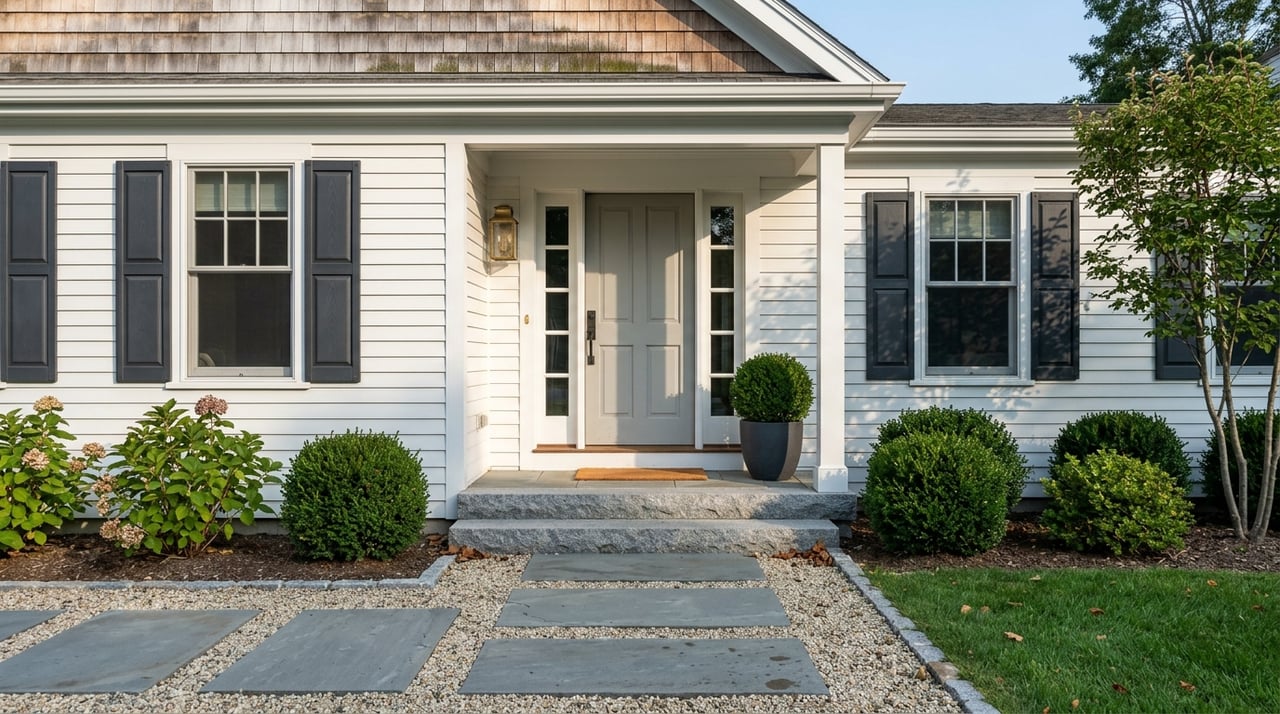
Waking up to glassy water and loons calling across a cove is a Maine dream. If you are eyeing Raymond for its access to Sebago Lake and nearby ponds, you also want a clear path to buy with confidence. In this guide, you will learn how waterfront and water‑access properties work, what to check with seasonal vs year‑round homes, the key shoreland rules that shape your options, and a step‑by‑step due diligence plan. Let’s dive in.
Raymond waterfront at a glance
Raymond includes shoreline on parts of Sebago Lake along with Panther Pond, Crescent Lake, Raymond Pond, and Thomas Pond. The town’s parcel viewer and land‑use maps help you confirm boundaries and shoreland districts for any property you are considering. You can review parcels and shoreland layers using the town’s GIS and Official Land Use Map on the Raymond website.
Sebago Lake is the primary drinking water source for Greater Portland. The Portland Water District treats but does not filter Sebago’s water, which is why watershed protection and careful shoreland practices are a high priority around the lake. You can learn more about source‑water protection in the district’s latest Annual Water Quality Report.
Local code enforcement is active on shoreline issues. Recent public cases in Raymond made the news and highlight the importance of permitted shoreline work and proper inspections. This attention protects the lakes and also helps buyers avoid surprises.
Property types you will see
Direct shorefront parcels
A direct shorefront property touches the water and has shoreline frontage to the normal high‑water line. In Maine, ownership and use rights meet state rules and municipal shoreland zoning. It is important to confirm what the deed conveys and whether any shoreline or submerged‑land rights were reserved or sold in the past. For helpful context on public and private rights around great ponds, see the University of Maine Sea Grant’s citizen guide to shoreline access.
Water‑access lots with deeded ROW
Some Raymond properties sit back from the water but include a recorded right‑of‑way or membership to a shared beach or dock. These private ways are often maintained by a road association. Ask for the bylaws, budget, and maintenance plan, since plowing and repairs can impact year‑round use and costs. The Maine DEP explains how private road associations work and how they are formed.
Association or condo shorefront
In certain subdivisions or condo communities, the shoreline is common land with shared rules for docks, beaches, and improvements. You will want to review the governing documents for rights, maintenance responsibilities, and any limits on short‑term or seasonal use.
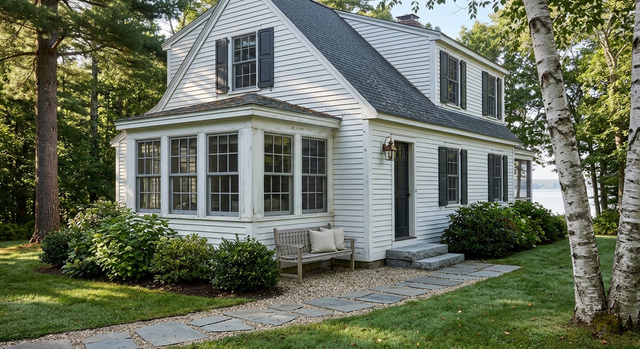
Camps and seasonal cottages
Many Raymond shore properties began as camps. These homes can be dreamy in July and challenging in January. Seasonal systems and foundations often differ from year‑round homes, and conversions can require upgrades to heating, insulation, plumbing, and septic capacity. Before you plan a winter move‑in, budget for the necessary work and confirm what is allowed on the lot.
Seasonal vs year‑round choices
Utilities and winterization
Seasonal plumbing may not be insulated or heated for freezing temperatures, and older electrical service may not support modern year‑round loads. The Maine DEP offers practical guidance for opening and closing camps, plus seasonal upkeep tips that help you prevent damage and protect nearby water quality.
Septic capacity and code
Year‑round occupancy usually increases wastewater loading. You should request the HHE‑200 site evaluation, as‑built plans, and permits for the septic system. The Maine CDC’s subsurface wastewater rules outline how systems are designed and permitted, and a licensed site evaluator can tell you whether the current system meets today’s standards and your future needs.
Road access and winter maintenance
Many shoreline homes are reached by private or camp roads. If winter access matters, confirm who maintains the road, how plowing is funded, and whether the association is statutory or nonprofit. The Maine DEP’s road association resources explain structures and responsibilities so you know what to expect.
Insurance and financing
Lenders and insurers treat seasonal and primary residences differently, and properties within FEMA Special Flood Hazard Areas may require flood insurance. Check the effective flood map panel for the property and ask the seller for any elevation certificates. Confirm insurance availability early so it does not delay closing.
Key shoreland rules
Shoreland zoning basics
Maine’s mandatory shoreland zoning applies to land within 250 feet of the normal high‑water line of great ponds, rivers, and coastal waters, and within 75 feet of certain streams. Municipalities adopt local ordinances based on state guidelines, so you need to check both state rules and the Raymond ordinance for the exact lot you are evaluating. Start with the state’s shoreland zoning overview to understand the framework.
Raymond standards to know
Raymond’s shoreland ordinance sets important dimensional standards that affect what you can build and where. For example, the ordinance commonly requires a minimum residential shore frontage of 225 feet per dwelling unit and minimum setbacks of 30 feet front, 20 feet side, and 30 feet rear from the normal high‑water line. Always confirm the current version of the ordinance and the parcel’s Shoreland District on the town map before you make plans.
Docks and shoreline work
Permanent structures that project into the water, like piers and certain fixed docks, typically require permits and must meet size and height limits. Shoreline stabilization such as riprap also may need review. In Raymond, dock and shoreline rules are found in the local shoreland ordinance, and some projects may involve state permitting. Ask for copies of past permits and inspection records so you know the work was properly authorized.
Buyer due diligence checklist
Use this step‑by‑step list to structure your evaluation and reduce surprises.
- Confirm boundaries and shore frontage
- Request a recent boundary survey that shows the normal high‑water line and measured shoreline frontage. Compare the measurement to Raymond’s minimum frontage standard in the shoreland ordinance.
- Verify zoning and shoreland district
- Pull the Official Land Use Map and confirm the parcel’s shoreland district in the town GIS. Ask the code office about permitted uses and any recent amendments that may affect the lot.
- Review deed, easements, and rights‑of‑way
- Search recorded documents for access easements to the water, shared shore agreements, or restrictions that could limit dock placement or public use. If access depends on a private way or shared beach, request association bylaws and meeting minutes.
- Check docks and shoreline work
- Ask for permits and any as‑builts for docks, riprap, boat lifts, or other shoreline improvements. Confirm required inspections or mitigation were completed.
- Gather septic records and assess capacity
- Obtain the HHE‑200 site evaluation, as‑built plans, and pumping records. Review them with a licensed site evaluator to confirm current rules, reserve area, and whether upgrades are needed for year‑round living.
- Verify water supply
- Ask for well drilling logs, yield tests, and water quality results. If the property relies on a community water system, confirm service details. For Sebago shoreline context, the Portland Water District’s report explains watershed protection priorities.
- Evaluate flood risk and insurance
- Check the effective flood map panel and the town’s floodplain rules to see if the home is in a Special Flood Hazard Area. If so, ask for any elevation certificates and price flood insurance early.
- Check environmental and lake‑health items
- Ask about invasive aquatic plant surveys and whether courtesy boat inspections or LakeSmart programs operate in the area. The Maine DEP’s invasive aquatic species page provides background on prevention and control.
- Confirm private road maintenance
- If access is via a private road, request road association documents, assessment history, and proof of regular maintenance like plowing and ditching. This is critical for year‑round access and lender approval.
- Order a title search and survey
- A thorough title review can surface old easements or unrecorded access claims. If shoreline boundaries or access rights are unclear, order a survey and consult a local real estate attorney.
- Schedule targeted inspections
- In addition to a general home inspection, consider a licensed surveyor for the high‑water line, a septic designer for system capacity, and a shoreline or erosion‑control professional for bank stability. If you plan new shoreline work, consult a contractor familiar with DEP best practices for the shoreland zone.
- Collect permits and correspondence
- Request building permits, shoreland and DEP permits, septic approvals, surveys, and any town or state correspondence about past violations. Raymond’s recent enforcement history shows why good records matter before you close.
Who to involve
- Town Code Enforcement and Planning: Confirm district, setbacks, and permits on file.
- Licensed land surveyor: Locate boundaries and the normal high‑water line in writing.
- Licensed septic site evaluator/designer: Evaluate system capacity, reserve area, and upgrade options.
- Shoreline and erosion‑control contractor: Plan compliant stabilization or dock projects and limit runoff.
- Real estate attorney: Review easements, rights‑of‑way, and association documents when access is shared.
How we help
Waterfront and water‑access purchases carry extra layers of valuation, permitting, and maintenance detail. You deserve an advisor who understands both the market and the rules. As a boutique brokerage with integrated, USPAP‑compliant appraisal services, we help you price with confidence, verify the details that protect value, and coordinate the right local professionals at each step. If you are considering a home on Sebago Lake or the Raymond ponds, let’s talk about a plan that fits your goals.
Have questions or want to preview current opportunities near the water? Connect with The Moulton Group RE for neighborly, data‑driven guidance from offer to close.
FAQs
What counts as shoreline frontage in Raymond?
- Shore frontage is measured along the normal high‑water line, and Raymond’s ordinance sets minimums per dwelling unit; always confirm the frontage measurement on a survey and compare it to current town standards.
Can I add a dock on Sebago Lake in Raymond?
- Many docks and permanent structures need municipal permits and must meet size and setback limits, and some projects may also require state review, so plan ahead and confirm approvals before you build.
How do private roads affect year‑round living?
- Private or camp roads are usually maintained by a road association that handles plowing and repairs, which can affect access, lender approval, and yearly costs, so review bylaws and budgets early.
Will I need a new septic system to live there year‑round?
- It depends on the existing system’s design flow, condition, and today’s code; request the HHE‑200, permits, and pumping records and have a licensed site evaluator verify capacity and upgrade needs.
Do I need flood insurance for a Raymond lake property?
- Only if the structure sits in a Special Flood Hazard Area or if your lender requires it; check the effective flood map for the parcel and ask for elevation certificates to understand costs and options.